Robert Campbell
Well-known member
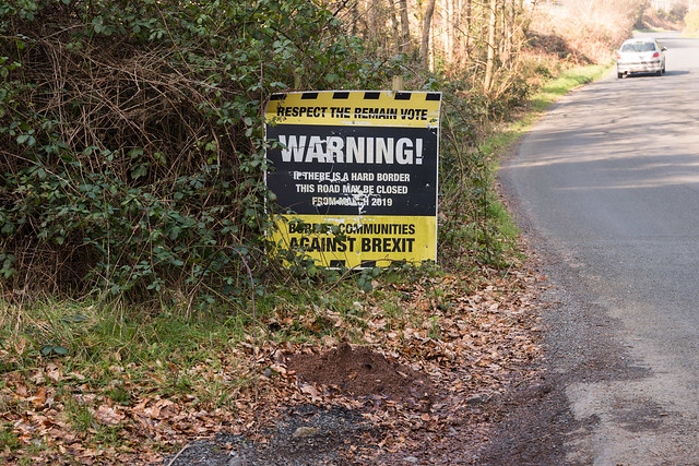
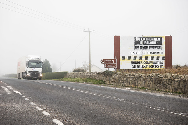
There is an international border between the United Kingdom and the Republic of Ireland. Both countries are at present in the European Union. It is between Northern Ireland (the north), part of the UK, and the Republic of Ireland (the south). The UK will be leaving the EU at the end of March next year; the Irish Border will be the UK's only land frontier; it has become a major (problem) problem. I thought I'd go to have a look at it.
All photos with the CL and 18-56 zoom.
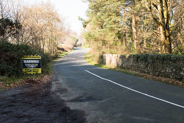
The border is somewhere along this road, between the end of the 'Famine Wall' on the right, which is in the north, and the speed limit signs which are in the south. The speed limit signs are usually a bit inside where the border line is.


You can sometimes tell where the border is from the change in the road surface, or different road markings. If the sides are yellow, it's the south.

Then again, you might still be uncertain.
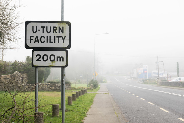
If you still aren't sure, there are helpful signs; the south uses kph, the north mph.

Otherwise, it's probably in the middle of the river (here the Blackwater). Probably.

All photos with the CL and 18-56 zoom.
The border is somewhere along this road, between the end of the 'Famine Wall' on the right, which is in the north, and the speed limit signs which are in the south. The speed limit signs are usually a bit inside where the border line is.
You can sometimes tell where the border is from the change in the road surface, or different road markings. If the sides are yellow, it's the south.
Then again, you might still be uncertain.
If you still aren't sure, there are helpful signs; the south uses kph, the north mph.
Otherwise, it's probably in the middle of the river (here the Blackwater). Probably.